
Pigeon waterfall topographic map
Interactive map
Click on the map to display elevation.
About this map
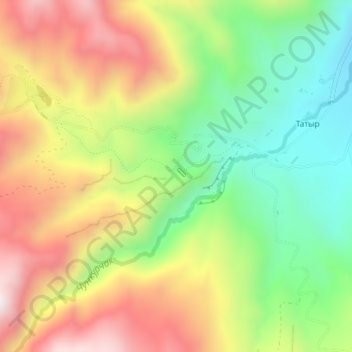
Name: Pigeon waterfall topographic map, elevation, terrain.
Location: Pigeon waterfall, Alamüdün District, Chuy Region, Kyrgyzstan (42.66951 74.63722 42.66961 74.63732)
Average elevation: 1,752 m
Minimum elevation: 1,433 m
Maximum elevation: 2,121 m
Other topographic maps
Click on a map to view its topography, its elevation and its terrain.