
Cadad topographic map
Interactive map
Click on the map to display elevation.
About this map
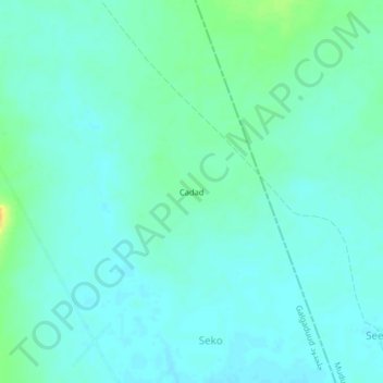
Name: Cadad topographic map, elevation, terrain.
Location: Cadad, Dhusamareb District, Galgaduud, Galmudug, Somalia (5.39752 47.49841 5.43752 47.53841)
Average elevation: 125 m
Minimum elevation: 118 m
Maximum elevation: 148 m