
b13 topographic map
Interactive map
Click on the map to display elevation.
About this map
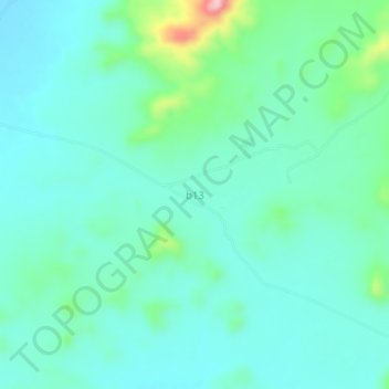
Name: b13 topographic map, elevation, terrain.
Location: b13, Sanmatenga, Central-North, Burkina Faso (12.85339 -1.15254 12.89339 -1.11254)
Average elevation: 324 m
Minimum elevation: 286 m
Maximum elevation: 478 m