
Thalouang topographic map
Interactive map
Click on the map to display elevation.
About this map
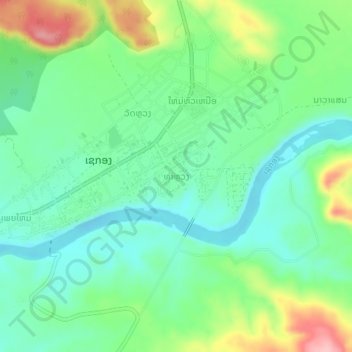
Name: Thalouang topographic map, elevation, terrain.
Location: Thalouang, Lam Mam District, Sekong Province, Laos (15.32656 106.71119 15.36656 106.75119)
Average elevation: 155 m
Minimum elevation: 107 m
Maximum elevation: 260 m