
Jøssingfjord topographic map
Interactive map
Click on the map to display elevation.
About this map
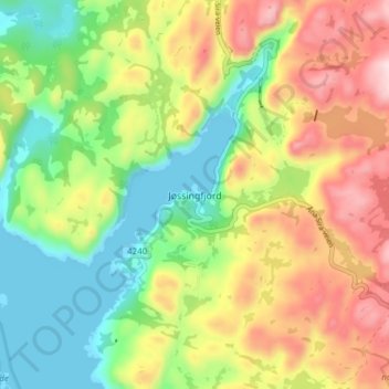
Name: Jøssingfjord topographic map, elevation, terrain.
Location: Jøssingfjord, Sokndal, Rogaland, Norwegen (58.29761 6.32435 58.33761 6.36435)
Average elevation: 145 m
Minimum elevation: -3 m
Maximum elevation: 339 m
Other topographic maps
Click on a map to view its topography, its elevation and its terrain.