
Schnackenburg topographic map
Interactive map
Click on the map to display elevation.
About this map
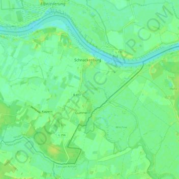
Name: Schnackenburg topographic map, elevation, terrain.
Average elevation: 19 m
Minimum elevation: 12 m
Maximum elevation: 26 m
Other topographic maps
Click on a map to view its topography, its elevation and its terrain.
WendLAN Breitbandversorgung
Deutschland > Niedersachsen > Schnackenburg
WendLAN Breitbandversorgung, B 493, Schnackenburg, Samtgemeinde Gartow, Lüchow-Dannenberg, Niedersachsen, 29493, Deutschland
Average elevation: 19 m