
Desuru topographic map
Interactive map
Click on the map to display elevation.
About this map
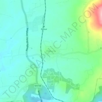
Name: Desuru topographic map, elevation, terrain.
Location: Desuru, Belagavi taluku, Karnataka, India (15.72324 74.48141 15.76324 74.52141)
Average elevation: 748 m
Minimum elevation: 711 m
Maximum elevation: 874 m