
Groessen topographic map
Interactive map
Click on the map to display elevation.
About this map
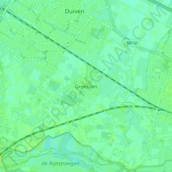
Name: Groessen topographic map, elevation, terrain.
Location: Groessen, Gelderland, Nederland, 6923, Nederland (51.91210 6.00892 51.95210 6.04892)
Average elevation: 11 m
Minimum elevation: 6 m
Maximum elevation: 16 m