
Liberta topographic map
Interactive map
Click on the map to display elevation.
About this map
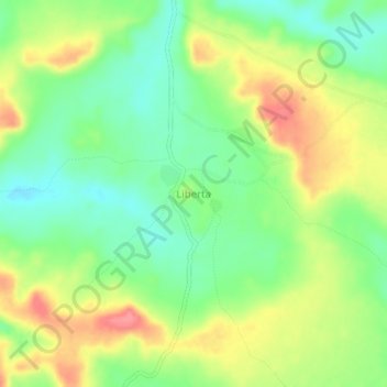
Name: Liberta topographic map, elevation, terrain.
Location: Liberta, Kéniéba, Kayes, Mali (12.24046 -11.03598 12.28046 -10.99598)
Average elevation: 197 m
Minimum elevation: 163 m
Maximum elevation: 240 m