
Dhuwa Kola topographic map
Interactive map
Click on the map to display elevation.
About this map
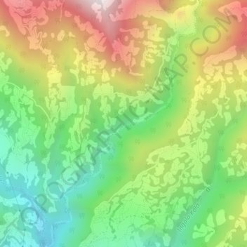
Name: Dhuwa Kola topographic map, elevation, terrain.
Location: Dhuwa Kola, Mabu, Sandakpur, Ilam, Province #1, Nepal (27.01132 87.96705 27.04521 87.99074)
Average elevation: 1,678 m
Minimum elevation: 1,150 m
Maximum elevation: 2,405 m