
Matford Brook topographic map
Interactive map
Click on the map to display elevation.
About this map
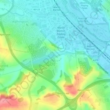
Name: Matford Brook topographic map, elevation, terrain.
Average elevation: 28 m
Minimum elevation: -1 m
Maximum elevation: 93 m
Other topographic maps
Click on a map to view its topography, its elevation and its terrain.
Exminster
United Kingdom > England > Teignbridge > Exminster
Exminster, Teignbridge, Devon, South West England, England, EX6 8BD, United Kingdom
Average elevation: 23 m