
Gits topographic map
Interactive map
Click on the map to display elevation.
About this map
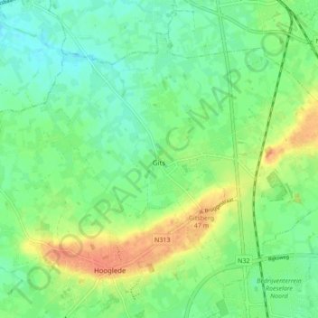
Name: Gits topographic map, elevation, terrain.
Location: Gits, Hooglede, Roulers, Flandre-Occidentale, Belgique (50.97601 3.06464 51.01900 3.15125)
Average elevation: 26 m
Minimum elevation: 10 m
Maximum elevation: 52 m