
Isser topographic map
Interactive map
Click on the map to display elevation.
About this map
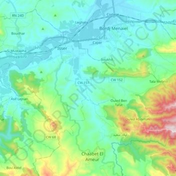
Name: Isser topographic map, elevation, terrain.
Location: Isser, Isser District, Boumerdès, Algeria (36.65246 3.60171 36.73466 3.78209)
Average elevation: 156 m
Minimum elevation: 14 m
Maximum elevation: 681 m