
Țagu topographic map
Interactive map
Click on the map to display elevation.
About this map
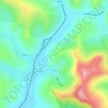
Name: Țagu topographic map, elevation, terrain.
Location: Țagu, Bistrița-Năsăud, 427022, Romania (46.81573 24.20287 46.83248 24.24202)
Average elevation: 384 m
Minimum elevation: 337 m
Maximum elevation: 490 m