
Velika Gorica topographic map
Interactive map
Click on the map to display elevation.
About this map
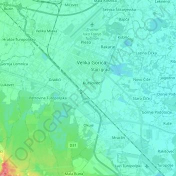
Name: Velika Gorica topographic map, elevation, terrain.
Location: Velika Gorica, City of Velika Gorica, Zagreb County, Croatia (45.64199 16.03225 45.75595 16.10141)
Average elevation: 109 m
Minimum elevation: 96 m
Maximum elevation: 184 m