
Samaria topographic map
Click on the map to display elevation.
About this map
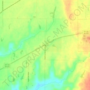
Name: Samaria topographic map, elevation, terrain.
Location: Samaria, Johnson County, Indiana, 46181, United States (39.38394 -86.20638 39.42394 -86.16638)
Average elevation: 243 m
Minimum elevation: 217 m
Maximum elevation: 266 m
Other topographic maps
Click on a map to view its topography, its elevation and its terrain.
Greenwood
United States > Indiana > Johnson County
Greenwood's mean elevation is 813 feet (248 m) above sea level. The city's topography is flat to gently rolling.
Average elevation: 245 m
Greenwood
United States > Indiana > Johnson County
Greenwood's mean elevation is 804 feet (245 m) above sea level. The city's topography is flat to gently rolling.
Average elevation: 245 m
Freedom Park
United States > Indiana > Johnson County > Greenwood > Green Valley
Average elevation: 243 m