
Real Santa Fe topographic map
Interactive map
Click on the map to display elevation.
About this map
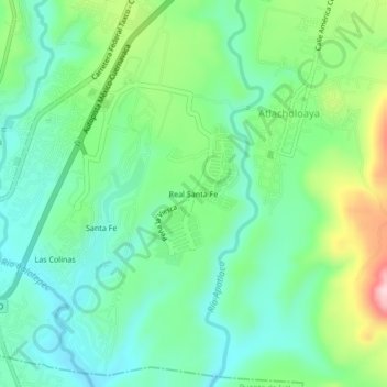
Name: Real Santa Fe topographic map, elevation, terrain.
Location: Real Santa Fe, Atlacholoaya, Xochitepec, Morelos, México (18.71584 -99.25656 18.75584 -99.21656)
Average elevation: 1,071 m
Minimum elevation: 998 m
Maximum elevation: 1,244 m