
La Isla topographic map
Interactive map
Click on the map to display elevation.
About this map
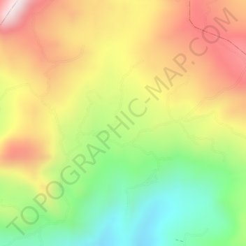
Name: La Isla topographic map, elevation, terrain.
Location: La Isla, Villarrica, Tolima, Colombia (3.96639 -74.61787 3.98639 -74.59787)
Average elevation: 1,424 m
Minimum elevation: 1,173 m
Maximum elevation: 1,654 m