
Castell del Rey topographic map
Interactive map
Click on the map to display elevation.
About this map
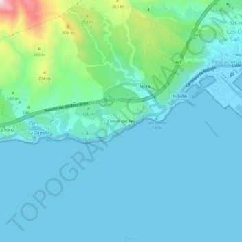
Name: Castell del Rey topographic map, elevation, terrain.
Location: Castell del Rey, Almería, Andalucía, 04002, España (36.80808 -2.51991 36.84808 -2.47991)
Average elevation: 76 m
Minimum elevation: -2 m
Maximum elevation: 490 m