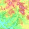
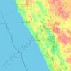
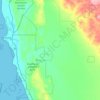
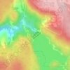
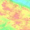
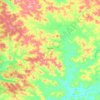
Geraldton topographic map
Click on the map to display elevation.
About this map
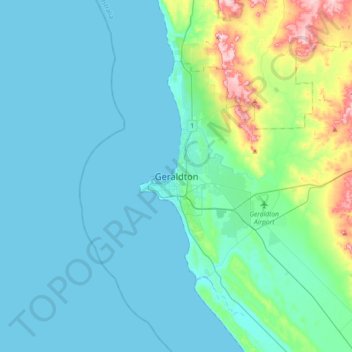
Name: Geraldton topographic map, elevation, terrain.
Location: Geraldton, Western Australia, 6530, Australia (-28.94297 114.46390 -28.62297 114.78390)
Average elevation: 34 m
Minimum elevation: -2 m
Maximum elevation: 223 m
Other topographic maps
Click on a map to view its topography, its elevation and its terrain.





Darlington
Very early on, because of its altitude and separation from the Swan Coastal Plain, Darlington became established as a popular picnic area, country drive destination, and a place for holiday homes.
Average elevation: 154 m