Geolocate

Rapar topographic map

Click on the map to display elevation.

About this map

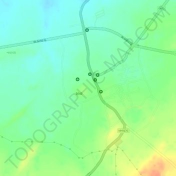
Name: Rapar topographic map, elevation, terrain.

Location: Rapar, Rapar Taluka, Kachchh, Gujarat, India (23.56500 70.63953 23.57821 70.65370)

Average elevation: 66 m

Minimum elevation: 48 m

Maximum elevation: 92 m

Other topographic maps

Click on a map to view its topography, its elevation and its terrain.

Fatehgadh

India > Gujarat > Rapar Taluka

Average elevation: 23 m

Gear up for your next adventure:

🎒Hiking Backpacks - Comfortable backpacks for day hikes and multi-day treks
🧰First Aid Kits - Essential safety kits for outdoor activities
🥤Hiking Water Bottles - Reusable bottles for hydration on the trail
🚶Walking Pedometers - Simple distance tracking for casual trail walkers
👟Women's Trail Running Shoes - Agile footwear for fell running and technical trails

As an Amazon Associate, this site earns from qualifying purchases at no extra cost to you.