
双石镇 topographic map
Interactive map
Click on the map to display elevation.
About this map
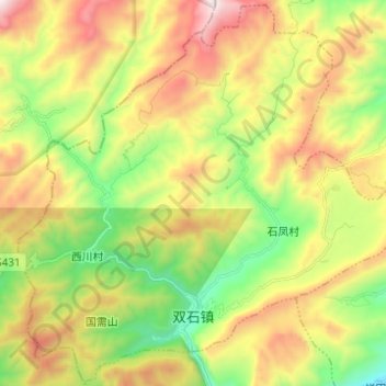
Name: 双石镇 topographic map, elevation, terrain.
Location: 双石镇, 芦山县, 雅安市, 四川省, 中国 (30.23656 102.86625 30.34040 102.98924)
Average elevation: 1,310 m
Minimum elevation: 766 m
Maximum elevation: 2,027 m
Other topographic maps
Click on a map to view its topography, its elevation and its terrain.