
Cenote Carwash topographic map
Interactive map
Click on the map to display elevation.
About this map
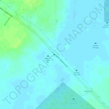
Name: Cenote Carwash topographic map, elevation, terrain.
Average elevation: 5 m
Minimum elevation: 1 m
Maximum elevation: 15 m
Other topographic maps
Click on a map to view its topography, its elevation and its terrain.
Macario Gomez
México > Quintana Roo > Macario Gomez
Macario Gomez, Tulum, Quintana Roo, México
Average elevation: 17 m