
Hesse topographic map
Interactive map
Click on the map to display elevation.
About this map
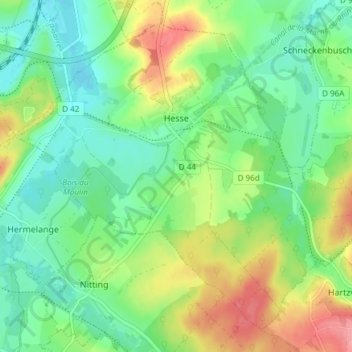
Name: Hesse topographic map, elevation, terrain.
Average elevation: 281 m
Minimum elevation: 250 m
Maximum elevation: 335 m
Other topographic maps
Click on a map to view its topography, its elevation and its terrain.
Rhodes
Francia > Grande Est > Moselle > Rhodes
Rhodes, Sarrebourg-Château-Salins, Moselle, Grande Est, Francia metropolitana, 57810, Francia
Average elevation: 267 m