
Thank you for supporting this site ❤️
Make a donation
Make a donation
Gear up for your next adventure:
As an Amazon Associate, this site earns from qualifying purchases at no extra cost to you.
Payande topographic map
Click on the map to display elevation.
Thank you for supporting this site ❤️
Make a donation
Make a donation
Gear up for your next adventure:
As an Amazon Associate, this site earns from qualifying purchases at no extra cost to you.
About this map
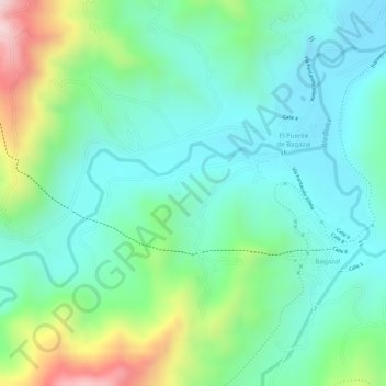
Name: Payande topographic map, elevation, terrain.
Location: Payande, Villeta, Gualivá, RAP (Especial) Central, Colombia (4.97754 -74.50586 4.99754 -74.48586)
Average elevation: 912 m
Minimum elevation: 799 m
Maximum elevation: 1,181 m
Thank you for supporting this site ❤️
Make a donation
Make a donation
Gear up for your next adventure:
As an Amazon Associate, this site earns from qualifying purchases at no extra cost to you.