
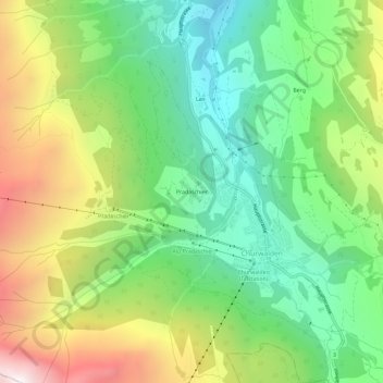
Pradaschier topographic map
Interactive map
Click on the map to display elevation.
About this map
Name: Pradaschier topographic map, elevation, terrain.
Location: Pradaschier, Churwalden, Plessur, Graubünden, 7075, Schweiz (46.76486 9.51224 46.80486 9.55224)
Average elevation: 1,595 m
Minimum elevation: 1,017 m
Maximum elevation: 2,540 m