
Đông Muổng topographic map
Interactive map
Click on the map to display elevation.
About this map
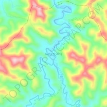
Name: Đông Muổng topographic map, elevation, terrain.
Location: Đông Muổng, Thạch An District, Cao Bang province, Vietnam (22.56513 106.20812 22.60513 106.24812)
Average elevation: 327 m
Minimum elevation: 212 m
Maximum elevation: 511 m