
Skogafoss topographic map
Interactive map
Click on the map to display elevation.
About this map
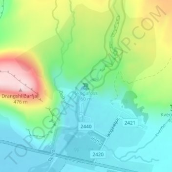
Name: Skogafoss topographic map, elevation, terrain.
Location: Skogafoss, Rangárþing eystra, Southern Region, Iceland (63.53205 -19.51134 63.53215 -19.51124)
Average elevation: 145 m
Minimum elevation: 17 m
Maximum elevation: 459 m