Geolocate

Pochutla topographic map

Click on the map to display elevation.

About this map
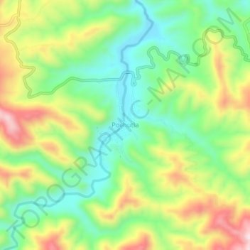
Name: Pochutla topographic map, elevation, terrain.

Location: Pochutla, Ahuacuotzingo, Guerrero, Mexico (17.64056 -98.91778 17.68056 -98.87778)

Average elevation: 1,284 m

Minimum elevation: 1,127 m

Maximum elevation: 1,521 m

Gear up for your next adventure:

🌄Outdoor Binoculars - Compact binoculars for landscape observation
🥾Hiking Boot Waterproofing Wax - Maintain the lifespan of your leather trekking boots
🧵Survival Paracord - Multi-purpose cordage for emergency repairs and shelters
🔦Keychain LED Torches - Emergency backup light for finding gear in your pack
🧥Waterproof Hiking Jackets - Rain protection for walking in all weather conditions

As an Amazon Associate, this site earns from qualifying purchases at no extra cost to you.