
才湾镇 topographic map
Interactive map
Click on the map to display elevation.
About this map
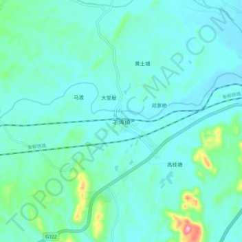
Name: 才湾镇 topographic map, elevation, terrain.
Location: 才湾镇, 桂林市, 广西壮族自治区, 中国 (25.89877 110.91057 25.97877 110.99057)
Average elevation: 194 m
Minimum elevation: 159 m
Maximum elevation: 399 m
Other topographic maps
Click on a map to view its topography, its elevation and its terrain.