
Mankota topographic map
Interactive map
Click on the map to display elevation.
About this map
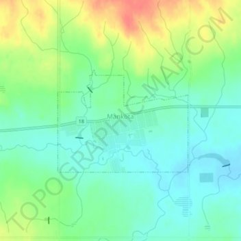
Name: Mankota topographic map, elevation, terrain.
Location: Mankota, Census Divsion No. 3, Saskatchewan, Canada (49.41490 -107.08299 49.42642 -107.06052)
Average elevation: 812 m
Minimum elevation: 792 m
Maximum elevation: 848 m