
Thank you for supporting this site ❤️
Make a donation
Make a donation
Gear up for your next adventure:
As an Amazon Associate, this site earns from qualifying purchases at no extra cost to you.
Grezzano topographic map
Click on the map to display elevation.
Thank you for supporting this site ❤️
Make a donation
Make a donation
Gear up for your next adventure:
As an Amazon Associate, this site earns from qualifying purchases at no extra cost to you.
About this map
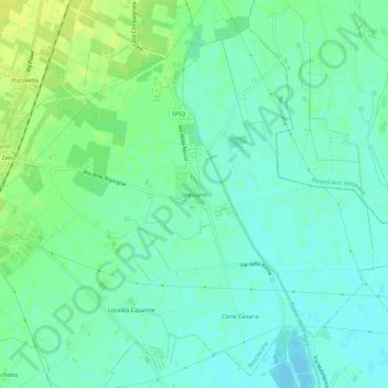
Name: Grezzano topographic map, elevation, terrain.
Location: Grezzano, Mozzecane, Verona, Veneto, 37060, Italia (45.29576 10.83829 45.33576 10.87829)
Average elevation: 42 m
Minimum elevation: 34 m
Maximum elevation: 53 m
Thank you for supporting this site ❤️
Make a donation
Make a donation
Gear up for your next adventure:
As an Amazon Associate, this site earns from qualifying purchases at no extra cost to you.