
Wati topographic map
Interactive map
Click on the map to display elevation.
About this map
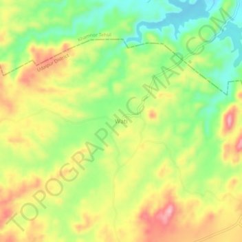
Name: Wati topographic map, elevation, terrain.
Location: Wati, Badgaon Tehsil, Udaipur District, Rajasthan, India (24.84825 73.62592 24.88825 73.66592)
Average elevation: 704 m
Minimum elevation: 623 m
Maximum elevation: 792 m