
Nabawan topographic map
Interactive map
Click on the map to display elevation.
About this map
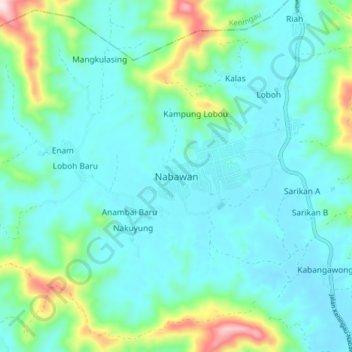
Name: Nabawan topographic map, elevation, terrain.
Location: Nabawan, Interior Division, Sabah, 89957, Malaysia (4.99973 116.38583 5.07973 116.46583)
Average elevation: 516 m
Minimum elevation: 441 m
Maximum elevation: 838 m
Other topographic maps
Click on a map to view its topography, its elevation and its terrain.