
Brookside topographic map
Click on the map to display elevation.
About this map
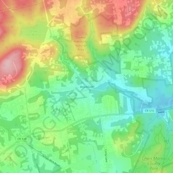
Name: Brookside topographic map, elevation, terrain.
Average elevation: 182 m
Minimum elevation: 107 m
Maximum elevation: 298 m
Other topographic maps
Click on a map to view its topography, its elevation and its terrain.
Brookside
United States > New Jersey > Morris County > Mendham Township > Brookside
Average elevation: 173 m
Brookside
United States > New Jersey > Morris County > Mendham Township > Brookside
Average elevation: 173 m