
Zarumilla topographic map
Interactive map
Click on the map to display elevation.
About this map
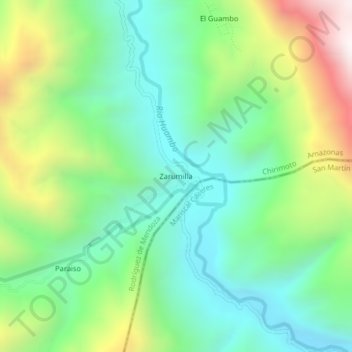
Name: Zarumilla topographic map, elevation, terrain.
Location: Zarumilla, Provincia de Rodríguez de Mendoza, Amazonas, Perú (-6.58685 -77.40144 -6.54685 -77.36144)
Average elevation: 1,471 m
Minimum elevation: 1,062 m
Maximum elevation: 2,322 m