
BS2 topographic map
Interactive map
Click on the map to display elevation.
About this map
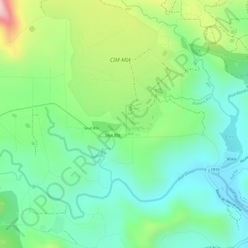
Name: BS2 topographic map, elevation, terrain.
Average elevation: 162 m
Minimum elevation: 67 m
Maximum elevation: 339 m
Other topographic maps
Click on a map to view its topography, its elevation and its terrain.
BS1
France > South Province > Yaté
BS1, Yaté, South Province, New Caledonia, 98834, France
Average elevation: 156 m