
Hazor Ashdod topographic map
Interactive map
Click on the map to display elevation.
About this map
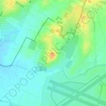
Name: Hazor Ashdod topographic map, elevation, terrain.
Average elevation: 41 m
Minimum elevation: 29 m
Maximum elevation: 65 m
Other topographic maps
Click on a map to view its topography, its elevation and its terrain.
Azriqam
Israel > South District > Beer Tuvia Regional Council
Azriqam, Beer Tuvia Regional Council, Ashkelon Subdistrict, South District, Israel
Average elevation: 35 m