
Кладница topographic map
Interactive map
Click on the map to display elevation.
About this map
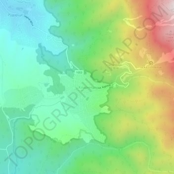
Name: Кладница topographic map, elevation, terrain.
Average elevation: 1,067 m
Minimum elevation: 769 m
Maximum elevation: 1,653 m
Other topographic maps
Click on a map to view its topography, its elevation and its terrain.
Pernik
Bulgarie > Oblast de Pernik > Pernik
Pernik, Municipalité de Pernik, Oblast de Pernik, 2300, Bulgarie
Average elevation: 821 m