
Thank you for supporting this site ❤️
Make a donation
Make a donation
Gear up for your next adventure:
As an Amazon Associate, this site earns from qualifying purchases at no extra cost to you.
Doñana topographic map
Click on the map to display elevation.
Thank you for supporting this site ❤️
Make a donation
Make a donation
Gear up for your next adventure:
As an Amazon Associate, this site earns from qualifying purchases at no extra cost to you.
About this map
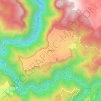
Name: Doñana topographic map, elevation, terrain.
Location: Doñana, Atotonilco el Grande, Hidalgo, Mexico (20.30667 -98.82111 20.34667 -98.78111)
Average elevation: 1,862 m
Minimum elevation: 1,462 m
Maximum elevation: 2,242 m
Thank you for supporting this site ❤️
Make a donation
Make a donation
Gear up for your next adventure:
As an Amazon Associate, this site earns from qualifying purchases at no extra cost to you.