Geolocate

Kandi topographic map

Click on the map to display elevation.

About this map

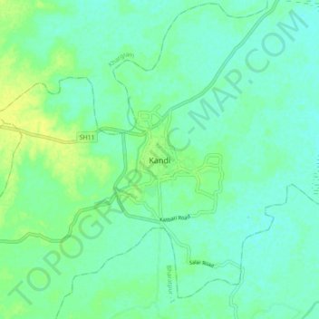
Name: Kandi topographic map, elevation, terrain.

Location: Kandi, Murshidabad, West Bengal, 742137, India (23.91786 88.00224 23.99786 88.08224)

Average elevation: 19 m

Minimum elevation: 13 m

Maximum elevation: 30 m

Gear up for your next adventure:

🌂Windproof Trekking Umbrellas - Surprising but effective rain protection on low-wind trails
👕Technical Hiking Tees - Moisture-management for high-exertion climbs
🧺Microfibre Travel Towels - Fast-drying and compact towels for wild swimming and camping
📦Compression Sacks - Reduce backpack volume efficiently
GPS Outdoor Watches - Watches with GPS tracking for hiking and exploration

As an Amazon Associate, this site earns from qualifying purchases at no extra cost to you.