
中寨镇 topographic map
Interactive map
Click on the map to display elevation.
About this map
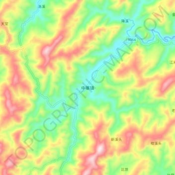
Name: 中寨镇 topographic map, elevation, terrain.
Location: 中寨镇, 新晃侗族自治县, 怀化市, 湖南省, 中国 (27.15860 109.22200 27.23860 109.30200)
Average elevation: 668 m
Minimum elevation: 429 m
Maximum elevation: 981 m
Other topographic maps
Click on a map to view its topography, its elevation and its terrain.