
Kollertshof topographic map
Interactive map
Click on the map to display elevation.
About this map
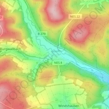
Name: Kollertshof topographic map, elevation, terrain.
Average elevation: 353 m
Minimum elevation: 260 m
Maximum elevation: 453 m
Other topographic maps
Click on a map to view its topography, its elevation and its terrain.
Schönau a.d.Brend
Deutschland > Bayern > Landkreis Rhön-Grabfeld > Schönau a.d.Brend
Schönau a.d.Brend, Bad Neustadt an der Saale (VGem), Landkreis Rhön-Grabfeld, Bayern, 97659, Deutschland
Average elevation: 417 m