
Ådalsbruk topographic map
Interactive map
Click on the map to display elevation.
About this map
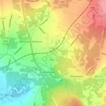
Name: Ådalsbruk topographic map, elevation, terrain.
Location: Ådalsbruk, Løten, Hedmark, 2345, Norway (60.77661 11.28899 60.81661 11.32899)
Average elevation: 199 m
Minimum elevation: 158 m
Maximum elevation: 241 m