
Stuifzand topographic map
Interactive map
Click on the map to display elevation.
About this map
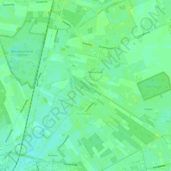
Name: Stuifzand topographic map, elevation, terrain.
Location: Stuifzand, Hoogeveen, Drenthe, Nederland (52.73667 6.47987 52.77096 6.52627)
Average elevation: 14 m
Minimum elevation: 8 m
Maximum elevation: 17 m
Other topographic maps
Click on a map to view its topography, its elevation and its terrain.