
Río Urederra / Urederra ibaia topographic map
Interactive map
Click on the map to display elevation.
About this map
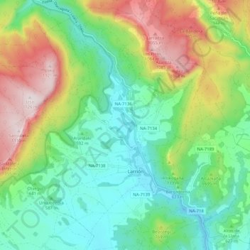
Name: Río Urederra / Urederra ibaia topographic map, elevation, terrain.
Location: Río Urederra / Urederra ibaia, Allín, Navarra, 31200, España (42.68523 -2.11600 42.75930 -2.04665)
Average elevation: 663 m
Minimum elevation: 434 m
Maximum elevation: 1,112 m