
Kambuga topographic map
Interactive map
Click on the map to display elevation.
About this map
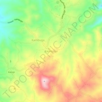
Name: Kambuga topographic map, elevation, terrain.
Location: Kambuga, Kambuga Sub-County, Kanungu, Western Region, Uganda (-0.83852 29.78149 -0.79852 29.82149)
Average elevation: 1,479 m
Minimum elevation: 1,310 m
Maximum elevation: 1,662 m