
Blavand-Oksby topographic map
Interactive map
Click on the map to display elevation.
About this map
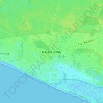
Name: Blavand-Oksby topographic map, elevation, terrain.
Location: Blavand-Oksby, Varde Kommune, Region Süddänemark, 6857, Dänemark (55.53589 8.11474 55.57589 8.15474)
Average elevation: 5 m
Minimum elevation: -1 m
Maximum elevation: 12 m