
Scotstown topographic map
Interactive map
Click on the map to display elevation.
About this map
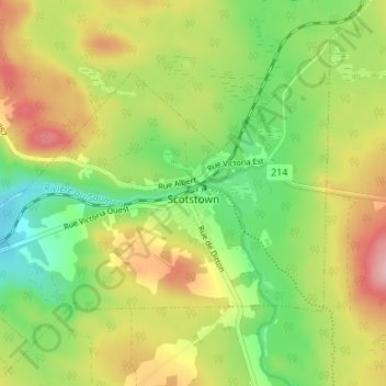
Name: Scotstown topographic map, elevation, terrain.
Average elevation: 391 m
Minimum elevation: 322 m
Maximum elevation: 477 m
Other topographic maps
Click on a map to view its topography, its elevation and its terrain.
Weedon
Canada > Quebec > Le Haut-Saint-François
Weedon, Le Haut-Saint-François, Estrie, Quebec, J0B 3J0, Canada
Average elevation: 308 m