
b42 topographic map
Interactive map
Click on the map to display elevation.
About this map
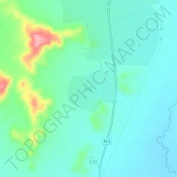
Name: b42 topographic map, elevation, terrain.
Location: b42, Sanmatenga, Central-North, Burkina Faso (13.01546 -1.11009 13.05546 -1.07009)
Average elevation: 330 m
Minimum elevation: 298 m
Maximum elevation: 444 m